

Why GeoSLAM Connect?
With the press of one button, your GeoSLAM data will be automatically processed in GeoSLAM Connect, saved in a folder of your choice, and prepared for the next step of your workflow. Reasons to use Connect;
-
In-source your data collection and never be sat waiting for results again. You’re in control
-
An intuitive interface makes it easy to view multiple point clouds simultaneously
-
Data is processed using our next generation SLAM algorithm, GeoSLAM Beam
-
Pre-defined workflows for common data capture scenarios
-
Export your point cloud data in a range of formats, including LAS, PLY, TXT and E57
-
Take your GeoSLAM data into 3rd party software’s such as Revit or ESRI
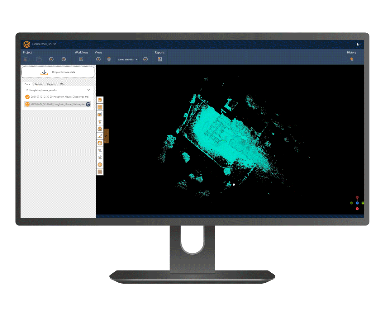
GeoSLAM Connect
Connect
Powered by the world’s leading SLAM algorithm alongside 3D visualization of your data, additional processing and filtering, workflow automation tools and integration into third party software applications.

Data Classifiers
GeoSLAM Connect has a range of filtering tools to help users get the best results from their data. These include outlier removal, surface noise reduction and removal of unwanted points, all of which make point clouds look cleaner and more defined. All of these tools are accessible within the Connect interface and can be applied to any dataset.

Reflective Target Alignment
Align two point clouds using common reflective targets captured within the scans. Targets will be automatically found in the scanned areas and used to align the point clouds in Connect.

RGB Colourisation
RGB colourisation is achieved using the ZEB Vision accessory with the ZEB Horizon. The workflow is divided into four simple processes: Process SLAM, Image Stitching, Image Positioning, and Colourisation. These procedures can be completed within the GeoSLAM Connect interface without the need for separate geoscripts. Users can now calibrate the ZEB Vision hardware from within Connect.

Reflective Target Georeferencing
Automatically georeference point clouds using reflective targets. These targets are positioned throughout the scanned area on known points and are detected during the scanning process. In GeoSLAM Connect, these targets are identified and matched with control points to locate the point cloud in the real world.

GeoSLAM Draw
GeoSLAM Draw is an optional add-on software and comes in configured industry packages. Create projects directly from GeoSLAM Connect, elevate your point clouds in a few clicks and share them easily with colleagues and clients for detailed collaborations.
